Major Rivers of India Map Coloring Page for Educational Learning
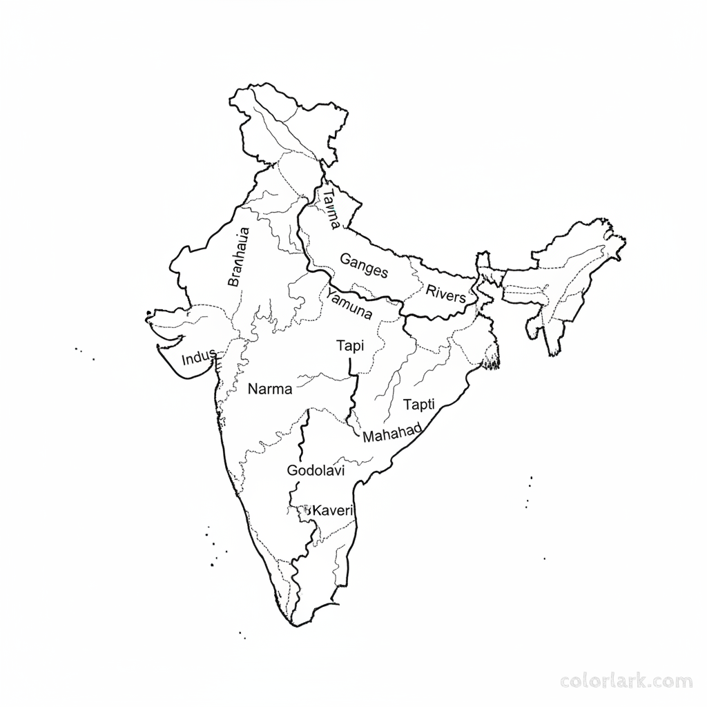
A black-and-white line-art map of India, prominently featuring its major rivers. The Ganges, Yamuna, Brahmaputra, Indus, Narmada, Tapi, Godavari, Krishna, Kaveri, and Mahanadi rivers should be clearly drawn with their main courses. State boundaries can be very lightly outlined for geographical context but the focus should remain on the river network. Educational and detailed for coloring.
More Geography Coloring Maps for India coloring pages
More like this
- Arunachal Pradesh State Map Coloring Page with Tawang Monastery and Hills
- Assam State Map Coloring Page with Kaziranga National Park and Brahmaputra River
- Chandigarh Union Territory Map Coloring Page with Capitol Complex
- Coastal States of India Map Coloring Page with Long Shorelines
- Dadra & Nagar Haveli and Daman & Diu UT Map Coloring Page
- Detailed India Political Map for Kids Coloring Page with States and Capitals
- East India States Map Coloring Page with Odisha and West Bengal
- Eastern Ghats Mountain Range Map Coloring Page through States
- Ganges River Basin Map Coloring Page with Major Tributaries
- Goa State Map Coloring Page with Beaches and Churches
- Himachal Pradesh State Map Coloring Page with Shimla and Mountains
- Himalayan States of India Map Coloring Page with Mountains and Rivers